
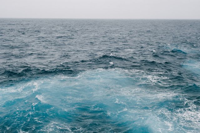
How can we measure the depth of the ocean? There are several ways to measure the depth of the ocean. You can use a weight on a piece of rope, sonar, or radar and satellites.
Oceans cover roughly 70.8% of the Earth’s surface. They range from a depth of millimeters at the shores, down to 10,935 meters at the deepest point, which is the Mariana Trench. The average depth of the oceans is about 3,700 meters. It is said that we know more about space than we know about the oceans on our own planet and that is probably true because they are incredibly difficult to explore. There are two problems when someone wants to explore the oceans.
The first is the lack of light. When sunlight hits the ocean, the light photons travel into the water and then they are either absorbed or scattered as they go deeper. Water molecules and organisms in the ocean absorb the light, generating heat. And the light is redirected by the water molecules, scattering as it gets deeper. The longer wavelengths (the reds, oranges, and yellows) are absorbed first, and the shorter wavelengths (greens and blues) can travel the farthest. That is why a red object can look almost black in the ocean and the deep sea is a greeny blue color. If you go into the ocean with a very powerful flashlight, the same thing will happen. The light from the flashlight will spread out and the water will absorb or scatter the beam. It is hard to see, unlike in space where we can see for light years.
The second problem is the pressure. When we go from Earth, which has a pressure of one atmosphere, to space, we are dropping by one atmosphere. Space has plenty of other dangers, but the difference in pressure is much smaller than it is at the bottom of the ocean. When we go deep into the ocean, the pressure increases by roughly one atmosphere every 10 meters. That means, when you get to the bottom of the Mariana Trench, the pressure is roughly 1,100 atmospheres. It is very difficult to manufacture machines that can survive that. And all of this means that if we want to measure the depth of the ocean, we can’t just go down there. So, how do we do it?
The oldest method is to drop a weight on the end of a rope and measure how long the rope is when it hits the bottom of the ocean. This works as a rough guide, but it obviously has some problems. You couldn’t easily measure the depth of the Mariana Trench in this way because you would need almost 11 km of rope. You could do it, but it would take an awful long time, and you would have to have readied enough rope beforehand. Also, because of water resistance, it would take a long time for the weight to reach the bottom. A lead weight would take about 23 minutes to reach the bottom. There are also the currents to contend with. Not only would the weight probably drift diagonally down, but the rope would also be pulled. This could offset the depth calculation by quite a bit. In the early days, all of this was done by hand with marks on the rope at various fathoms. In the nineteenth century, a machine was invented to tally the number of fathoms as the rope was pulled through it. It was called Lord Kelvin’s Sounding Machine.
An easier method is sonar. Sonar stands for SOund NAvigation and Ranging. It uses sound waves to measure distance underwater. As we discussed earlier, light gets easily scattered in water. Sound waves can also be absorbed and scattered, but they can travel much farther through seawater than visible light under suitable conditions. That is why animals like whales use it to communicate across vast distances. To measure the depth of the ocean with sonar, a sound wave is sent to the bottom and the time it takes to bounce back is measured. Because the speed of sound in water is known, it is a relatively simple calculation to work out the depth. This is a simple method, but it can take a long time to do huge amounts of the sea floor because the sonar device has to be moved over them.
Another way is to use radar and satellite. Radar stands for RAdio Detection and Ranging and it uses radio waves. Radar uses radio waves instead of sound waves, but they get scattered in water in the same way that light does, so they can’t be used in the ocean. However, they can be used to measure the height of the surface of the ocean. A satellite can send down radio waves and measure the time it takes them to bounce back, which gives the height of the ocean surface. This can measure the depth of the ocean because the topography of the ocean floor changes the height of the surface. This works because the shape of the ocean floor affects gravity. An underwater mountain has an enormous mass, which attracts more water toward it. This produces a tiny bulge in the surface of the ocean. Trenches can have the opposite effect. Satellites can measure these very small differences in the height of the water, and scientists use them to estimate the shape of the ocean floor. This method is not as accurate as sonar, but it is easier. And this is what I learned today.
Sources
https://www.nist.gov/how-do-you-measure-it/how-do-you-measure-depth-ocean
https://en.wikipedia.org/wiki/Depth_sounding
Photo by Mathias Reding: https://www.pexels.com/photo/serene-waves-of-the-atlantic-ocean-28588331/