How did the Great Lakes form? They were dug out of the ground by glaciers and ice sheets, and then filled with water from melting ice.
It is difficult to imagine how big the Great Lakes are. We see them on maps, but we don’t get a sense of how vast they are. Together, they have a surface area of 244, 106 km2. For comparison, that is 200 km2 smaller than the entire UK. If they were a country, the Great Lakes would be the 78th largest country in the world and bigger than 117 other countries. They are enormous. When you stand on the shore, you might as well be looking into the ocean and there are estimated to be close to 10,000 shipwrecks at the bottom of the lakes. The largest of the five lakes is Lake Superior, which makes up 35% of all the lakes. Lake Superior is also the deepest, with an average depth of 147 m and a maximum depth of 406 m. It is so big that it has its own weather system. All of the lakes are so vast that they contain 90% of all the freshwater in the United States and 20% of all the freshwater in the world. The US and Canada depend on the Great Lakes for their drinking water.
Lake Superior is not the largest lake in the world. That honor goes to the Caspian Sea, which is one and a half times bigger than all of the Great Lakes put together. The Caspian Sea is called a sea but it is actually a lake. It is a lake because it is an enclosed body of water not connected to any other ocean. It is also 28 m below sea level, which would be impossible for a real sea. The Romans called it a sea because it is salty.
So, how were the Great Lakes formed? They were formed approximately 14,000 years ago when the ice sheets started to retreat. The melting ice filled them with water, but their foundations were laid over a billion years ago. The first step in their formation was 1.2 billion years ago when two tectonic plates ripped apart and a valley was formed. 570 million years ago, this was connected to a second valley when another fault line collapsed. This provided a starting point for the lakes, but it was an ice age that did the rest.
Today, we only have ice sheets over the Antarctic and Greenland. There are large areas in Siberia that are permafrost, but those are the only ice sheets. They are enormous, but they are not as large as some of the ice sheets we have had in the past and their size has changed over the eons as ice ages have come and gone. The ice age that made the Great Lakes started in the Pleistocene era, which started 2.58 million years ago and ended 11,700 years ago. There were a number of periods of glaciation during the Pleistocene and the ice sheets advanced and then retreated over cycles that could last for more than 100,000 years. During periods of glaciation enormous amounts of sea water was frozen in the ice sheets and sea levels were 100 m or more lower than they are today. At its greatest extent, the ice sheet stretched down to the middle of Europe and as far south as northern California in the United States. This ice sheet was called the Laurentide ice sheet, and it was about 3.2 km thick. This much ice is incredibly heavy, and it pressed the earth down. Ice sheets also move, just like glaciers do. Glaciers flow in one direction, like a river, but ice sheets flow in all directions from their center. When they flow, their weight and the amount of ice can gouge out valleys and canyons in the land. In the case of the Great Lakes, the ice sheet gouged out the indentations that would be filled with water.
By 14,000 years ago, the global temperature had risen, and the ice started to melt. The ice sheets slowly retreated. As they retreated, they uncovered the new features of the land they had made and some of those features were the Great Lakes. Most of the runoff from the ice sheets went into the sea where it desalinized the seas so much it changed global weather patterns. However, a lot of the water accumulated in the Great Lakes. Lake Erie and Lake Michigan were the first to be uncovered. The other lakes were slowly uncovered during the next few thousand years, but their shapes were very different to today. There was so much water and the land topography was different to today, so three of the lakes were basically one enormous lake. Over the next few thousand years, the weight of the ice sheets had gone, and the land started to rise. This changed the way the lakes drained, and they became the lakes we know today. And this is what I learned today.
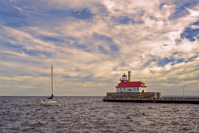
Photo by Adriaan Greyling: https://www.pexels.com/photo/duluth-south-breakwater-outer-light-lighthouse-in-usa-18834757/
Sources
https://education.nationalgeographic.org/resource/ice-sheet
https://education.nationalgeographic.org/resource/6icesheet-laurentide
https://en.wikipedia.org/wiki/Great_Lakes
https://en.wikipedia.org/wiki/Last_Glacial_Period
https://www.noaa.gov/education/resource-collections/freshwater/great-lakes-ecoregion
https://en.wikipedia.org/wiki/Laurentide_ice_sheet
https://en.wikipedia.org/wiki/List_of_lakes_by_area
https://en.wikipedia.org/wiki/List_of_countries_and_dependencies_by_area
