

Why is 0 longitude in London? It was used by more than two-thirds of the world’s ships and the USA had decided to use it.
The line that runs through Greenwich in London is known as the prime meridian, meaning it is zero degrees longitude. The Earth is divided up into 360 vertical degrees, called longitude, and 360 horizontal degrees, called latitude. Zero degrees of latitude is at the equator. Zero degrees of longitude runs from the North Pole, down through Greenwich in London, and on through France, Spain, Algeria, Mali, Burkina Faso, Togo, and Ghana. They are then broken up on either side of the zero lines into 180 degrees longitude west and 180 degrees east, and 180 degrees latitude north and 180 degrees south.
Longitude and latitude are necessary if you want to be able to navigate on Earth. If you want to find somewhere, you need to know its coordinates on more than one axis. This is how GPS works. If you only know the latitude, the place you are looking for could be anywhere on a line stretching around the planet. For example, 29.9792˚ North crosses the USA, most of North Africa, and most of Asia. However, if you couple it with 31.1342 ˚ East, then you have the Great Pyramid at Giza.
Latitude was fairly easy to work out. You only needed to know the height of the sun above the horizon at midday. A simple calculation would tell you how far north or south of the equator you were. Longitude is more difficult to work out because the Earth rotates, which makes it impossible to use stars to calculate where you are. The only way to do it is to know the time difference between where you are and an agreed upon location. The Earth rotates one degree every four minutes, so, if your time is 400 minutes different to zero time, you are 100 degrees away. This only became possible to calculate when clocks that could work effectively on ships were invented in the late 1770s.
Zero latitude being at the equator makes sense because this is the point of Earth that the sun orbits directly above. Why is zero longitude at the line that passes through Greenwich, London? When the age of exploration began in the 15th century, it became important for countries to try to work out their longitude. Many sailors used a sextant, which was a device that used the sun, moon, and stars to work out the latitude and longitude. They were not completely accurate and they required complex calculations from charts, but they were better than nothing. They required a 0 ˚ latitude and a 0 ˚ longitude to work out their position. The equator was used for latitude but many countries had their own 0 ˚ longitude. This worked fine when only people from one country were navigating, but it became more difficult when groups from multiple countries were trying to navigate as they would all have different coordinates.
Before Greenwich was chosen, France drew maps with 0 ˚ passing through Paris. Spain drew maps with 0 ˚ passing through the Royal Observatory of Madrid. China drew maps with 0 ˚ passing through Beijing. As the 19th century progressed, the Industrial Revolution enabled Britain to gain an advantage in world trade and exploration and they started to colonize more countries. By the latter part of the 19th century, the British Empire stretched so far, that 72% of the world’s shipping was involved in it and was using maps with 0 ˚ longitude passing through Greenwich.
In 1884, US President Chester Arthur convened the International Meridian Conference in Washington D.C. to try to resolve the matter of different meridians. Representatives from 25 countries attended the conference and they decided that it made sense to have the meridian that passed through the Royal Observatory in Greenwich as so many ships were already using it. And zero degrees longitude has stayed there ever since.
However, zero degrees latitude and longitude are arbitrary lines on our planet and our planet is constantly changing. We have the choice of keeping zero degrees longitude at Greenwich or of having it in a fixed place as the continental plate, known as Eurasia, that Greenwich sits on moves under it. The Eurasian plate is moving by about 5cm a year south. That doesn’t sound like a lot, but it is almost 7 meters since people decided to have the prime meridian at Greenwich. These days, longitude and latitude need to be a lot more accurate than when we only used ships and there are many different technologies that combine to make it possible. A host of satellites, coupled with ground stations, and survey marks that are embedded in ground rock and move with the continental plates. A lot of complicated calculations are required and the actual prime meridian is no longer exactly at Greenwich, it is 102 meters east. And this is what I learned today.
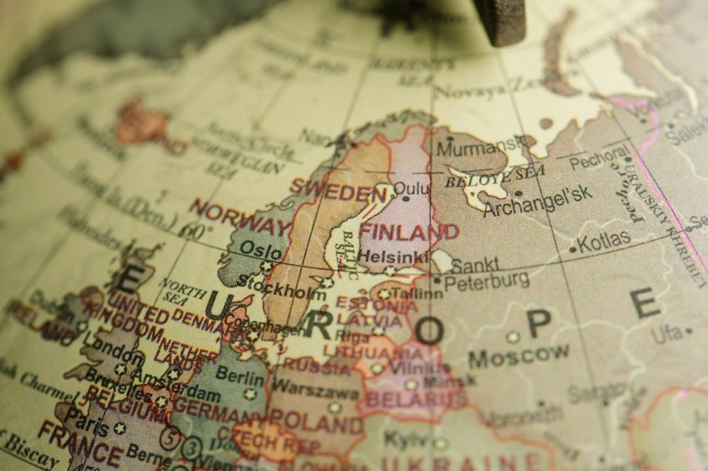
Photo by Lara Jameson: https://www.pexels.com/photo/europe-seen-on-a-globe-8828640/
Sources
https://www.rmg.co.uk/stories/topics/what-prime-meridian-why-it-greenwich
https://education.nationalgeographic.org/resource/prime-meridian/
https://en.wikipedia.org/wiki/Longitude
https://en.wikipedia.org/wiki/Prime_meridian_(Greenwich)
https://www.caliper.com/glossary/what-is-longitude.htm
https://www.worldatlas.com/articles/countries-on-the-prime-meridian.html
https://www.qmul.ac.uk/globe/news/the-meridian-line-a-shared-reference.html
http://www.people.vcu.edu/~mjmurphy/history_of_science/longitude/longitude.html
https://get-direction.com/address-to-lat-long.html?place=29.9792%2C458%20n%C2%B0
https://www.mapsofworld.com/world-maps/world-map-with-latitude-and-longitude.html
https://www.rmg.co.uk/stories/topics/what-prime-meridian-why-it-greenwich