
How did the Polynesians navigate? They used star compasses, maps of waves made using sticks, clouds, the color of the sky, and birds.
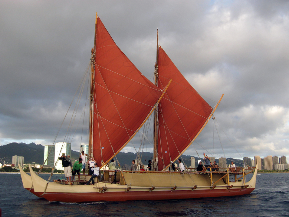
From about 5,000 years ago, groups of people started to spread out from Taiwan into South East Asia. These were the people we call Polynesians. By 1200 AD, they had spread across the Pacific as far north as Hawaii, as far east as Easter Island, and as far south as New Zealand. This is known as the Polynesian triangle. They expanded this way by hopping from island to island when the population became too large for one island to support. “Hopping” makes it sound like they went out for a day trip, but there are vast expanses of ocean between some of the islands. They didn’t have any navigation equipment, and they didn’t have a written language, so all of their knowledge had to be passed down from generation to generation by word of mouth. And yet, they were able to cross huge expanses of ocean repeatedly.
So, how did the Polynesians navigate those enormous distances? They combined a number of different methods, rather than just relying on one single navigation technique. One of the methods was the stars. People have always used the stars to navigate because they don’t change from night to night. The stars are obviously incredibly far away from us, which means that even though they are moving at hundreds of kilometers per second, they appear to be fixed points of light in the sky. All of the constellations in our sky will change, but it takes hundreds of thousands of years for that to happen. Even the star we call the Pole Star won’t be over the North Pole in about 2000 years. Still, the stars remain constant long enough for them to be used as a navigational aid.
The Polynesians used a sequence of stars to reach the island they were aiming for. As the Earth revolves, the stars move through the night sky. They rise at the horizon in the east, move through the sky, and set in the west. Every star rises at exactly the same place every night. The Polynesians memorized routes using these stars. They followed one star as it rose on the horizon until it was too high and then they followed another, and so on. They made a path of stars. 7 stars are enough to navigate through the night.
They could also use waves and sea swell to navigate. Different currents and different sized and shaped islands produce different waves. The Polynesians were adept at reading these wave patterns and they could use them as a navigational method. Waves and swell are different things and they gave the Polynesians different information. Waves are water that is pushed by the wind. Knowing the direction of the waves can show the direction of the wind, which can tell you where land is. Swell is waves that have more energy and travel from their point of origin. They travel perfectly straight and are easy to follow if you know what to look for. In order to be able to remember the waves and swells, sailors would use stick charts. Using palm ribs and coconut fibers, they would bend sticks into the shape of the waves and tie them together. This gave a physical representation of the specific waves they were looking for. When they found them, they knew they were going the right way.
The Polynesians also used birds to navigate. Some sea birds are based on land and they fly out into the sea to catch food before returning to the land in the evening. Once the sailors got close enough to land to spot these birds, they could follow them back in to the island. They would fly in the direction the bird had come in the morning and follow it in the evening. There is also a theory that the sailors kept a frigate bird on board. When they thought they were near an island, they would launch it. The frigate bird cannot land on the sea, so if there was no land nearby, it would return to the ship. If there was land it wouldn’t return and the sailors would sail in the direction the bird flew off in.
The Polynesians were also able to navigate using the clouds and the color of the sky. Islands reflect light into the sky differently from the sea. The sea absorbs light, while the white sand of beaches reflects it, pushing more heat into the sky and creating more clouds. The Polynesians knew the different types of clouds and were able to tell if they were land clouds or sea clouds. Shallow water also reflects more light than deep water. If there was shallow water, or a lagoon, it would reflect a faint green color on the clouds. The Polynesian sailors could head towards the green color.
So, the Polynesians had many different methods of navigating and they didn’t have to rely on any instruments. The art was mostly lost after Europeans colonized the area. And this is what I learned today.
[…] Uto-Aztecan, and others, don’t have words for cardinal directions. Groups of people, such as the Polynesians, would have been able to navigate fairly easily without having words for north, south, east, and […]
[…] the Phoenicians, and many other seafaring groups of people worked out latitude in this way. The Phoenicians had a system of latitude worked out by 600 BC. If you know where the sun is at noon, or if you know […]